
2026 FAU / IMI
SCM Case Study Competition

Enter the password to continue.
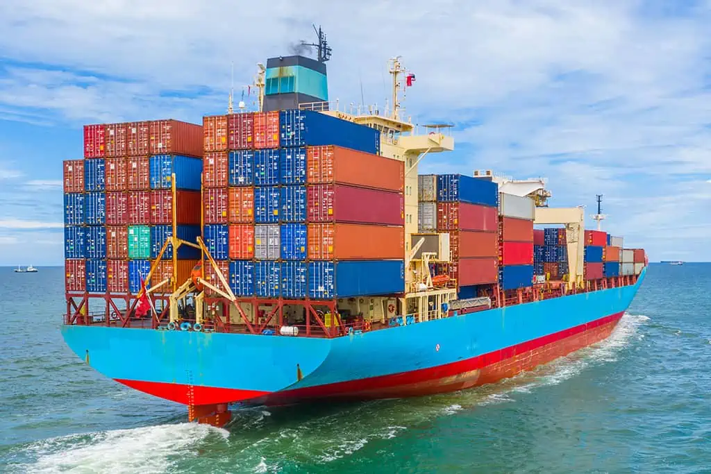
International Materials, LLC (IMI) operates a network of Contracts of Affreightment (COAs) that govern how bulk cargo is shipped from Spanish origins — Almeria and Garrucha — to 18 discharge ports across the East Coast of North America.
Each COA carries contractual obligations: minimum and maximum shipment counts that must be honored per planning period. At the same time, every destination port has a minimum demand that must be met.
The competition objective is to determine the optimal number of shipments per lane per destination — minimizing total freight cost while satisfying all contractual and demand constraints using Integer Linear Programming.
FAU Supply Chain Excellence
CMS Consultants presents a comprehensive supply chain strategy for IMI, leveraging data-driven insights to transform maritime operations and bulk commodity trading efficiency.
Expertise from Florida Atlantic University's top Supply Chain Management talent leading the IMI Case Study.


A comprehensive suite of interactive analytical outputs addressing IMI's freight optimization and forecasting challenges.
A fully formulated Integer Linear Programming model identifying the optimal shipment allocation across all 12 COA lanes and 18 discharge ports. This browser-based COA cost matrix and solver tool enables real-time scenario analysis across multiple freight rate assumptions.
A forecasting solution built using both time series models and causal analysis to predict crude prices and understand the key drivers impacting demand.
Using historical data and lagged variables grouped into Macro/Demand, Supply, Freight/Risk, and Geopolitical factors, the model captures both trend patterns and underlying market movements. Forecast outputs and driver impacts are presented through an interactive Power BI dashboard, enabling scenario analysis and supporting more informed COA planning decisions.
A real-time visualization platform for global cargo movements featuring a high-contrast "Mission Control" map where active vessels appear as color-coded icons that physically move along their routes. Transit times and ETAs are calculated by a multi-factor algorithm combining geodesic distance with live marine weather data — wind speed and wave height — and variable cargo handling times based on total tonnage.
The system automatically applies a 24-hour buffer to shipments departing on weekends or major holidays to account for operational bottlenecks, ensuring highly accurate predictive tracking. Each shipment is assigned a unique tactical color used consistently across both the map and interactive ledger for at-a-glance fleet differentiation. Users can manage destinations via custom coordinates and hover over any route or vessel icon to view shipment IDs, port details, and localized weather impacts.
A concise overview of the problem, methodology, findings, and strategic recommendations for IMI's COA network planning.